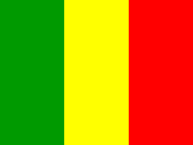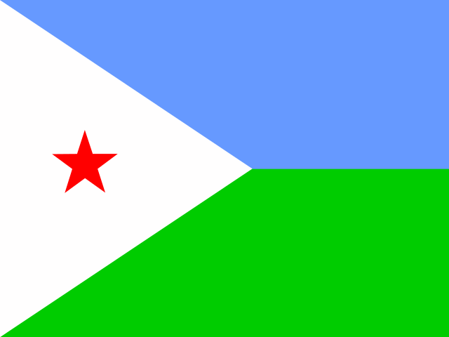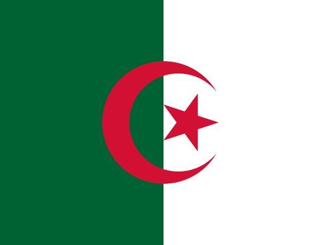
Algeria overview
Filed under Africa and more precisely Northern Africa, Algeria is a sovereign state. The long form of the name is People's Democratic Republic of Algeria. The capital is Algiers.
Its territory runs to 2,381,741 km², which ranks it 11th of the 249 countries and territories in this dataset — just behind Kazakhstan and just ahead of DR Congo. That makes it almost exactly the same size as DR Congo.
Some 46.8 million people call it home, placing it 33rd of 249 by population — between Spain above it and Iraq below. Measured only against its own subregion, it is 1st of 7 in size and 3rd in population.
Algeria and its neighbours, side by side
Algeria has 7 land neighbours, holding 115,019,707 people across 6,173,592 km² between them. Here is how each one measures up.
| Neighbour | Population | Area (km²) | vs Algeria by area |
|---|---|---|---|
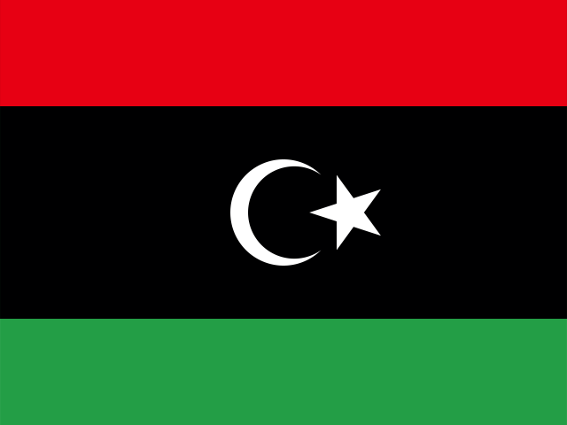
| Libya | 7,381,023 | 1,759,540 | 1.4× smaller |
| Nigerlandlocked | 27,032,412 | 1,267,000 | 1.9× smaller |
| Malilandlocked | 24,478,595 | 1,240,192 | 1.9× smaller |
| Mauritania | 5,169,395 | 1,030,700 | 2.3× smaller |
| Morocco | 38,081,173 | 446,550 | 5.3× smaller |
| Western Sahara | 600,000 | 266,000 | 9.0× smaller |
| Tunisia | 12,277,109 | 163,610 | 15× smaller |
By area the largest neighbour is Libya and the smallest is Tunisia; by population Morocco is the heaviest presence on the border. Taken together the neighbours hold more people than Algeria does, which is the usual situation for a country with several borders and rarely a comfortable one.
Algeria at a glance
- Capital
- Algiers
- Population
- 46,814,308
- Area
- 2,381,741 km²
- Region
- Northern Africa, Africa
- Languages
- Arabic
- Currency
- Algerian dinar (DZD)
- Calling code
- +213
- Internet TLD
- .dz
- People per km²
- 20
How Algeria sits on the globe
Plotted on a globe it falls at 28.0° north, 3.0° east, which puts it in the northern hemisphere, roughly 3,117 km from the equator, in what geographers would call subtropical latitudes.
It is one of the countries that the Tropic of Cancer crosses. The prime meridian also passes close to it, so it straddles the line that divides east from west. Follow that same latitude east or west and you reach Pakistan, Nepal and Bhutan — places that share its distance from the equator but little else.
Its land neighbours number 7: Tunisia, Libya, Niger, Western Sahara, Mauritania, Mali and Morocco. The largest of them by area is Libya, while the most populous is Morocco. Together those neighbours hold about 115.0 million people.
With both a coast and land borders, it has the trade options a landlocked country does not.
Where Algeria is on the map
The map below is centred on Algeria at roughly 28.00°, 3.00°. Pan and zoom to see how it sits against its surroundings — the shape of a country's borders explains a surprising amount about its history.
Map data © OpenStreetMap contributors
Population, density and language
Spread across 2,381,741 km², that works out at about 20 people per square kilometre, which makes it less crowded than the typical entry on this list. Half the entries in this dataset fall below roughly 91 per square kilometre.
Officially it is monolingual: Arabic. Arabic is one of the widely shared official languages here, listed by 24 other entries including Bahrain, Chad, the Comoros and Djibouti.
Someone from Algeria is an Algerian.
Inside Africa it places 10th of 59 by population, and it accounts for 17% of everyone living in Northern Africa.
Algeria within Northern Africa
Zoom in from the world to Northern Africa and Algeria sits 3rd of 7 by population and 1st by area. Its immediate company in that ordering is Sudan just above and Morocco just below, which is a more honest comparison set than a global league table.
Egypt is the largest of the group by population, and every entry in Northern Africa has its own page here if you want to work through the whole neighbourhood rather than one country at a time.
Money and language in Algeria
Algeria does not have the Algerian dinar to itself. It is one of 2 entries on this site that use the currency, whose code is DZD, and the other one is listed below. A shared currency usually points at something real — a monetary union, a currency board, a former colonial administration, or a small economy pegging itself to a large neighbour's money — and it means a price quoted in DZD travels further than you might expect.
Language reaches wider still. Arabic is listed for 25 entries here, Algeria among them, so a visitor who speaks it can be understood across a large part of the map. Shared language tends to outlive the empires, trade routes and migrations that spread it, which is why the linguistic map and the political one rarely line up.
Also uses the Algerian dinar (DZD):
How big is Algeria, really?
Put next to every other entry on this site, Algeria ranks 11th of 249 by area and 33rd by population. That works out at 1.6% of the combined land area of all 249 entries and 0.58% of their combined population. Those denominators matter: this list includes territories and dependencies as well as UN member states, so a rank here is not the same as a rank among sovereign countries.
For a sense of scale, the entries immediately either side of Algeria in the size ordering are Kazakhstan at 2,724,900 km² and DR Congo at 2,344,858 km², against Algeria's 2,381,741 km². If you can already picture one of those, you can picture this one.
Density tells a different story from either raw figure. Algeria averages 20 people per square kilometre of total area, which makes it thinly settled by global standards — 204th of the 247 entries that have both a population and a measured area. Total area includes inland water, so the true figure for habitable land is higher than this.
Currency, domain and dialling code
Money there is the Algerian dinar (د.ج, DZD). No other entry in this dataset uses it, so the currency is specific to Algeria.
Algiers is the seat of government and the answer most quizzes are looking for.
Websites there use the .dz domain. Calls from overseas start with +213. Standard country codes: dz and DZA.
Algeria is one of the 192 UN member states in this dataset. The other 57 entries are territories, dependencies or observers, which is why totals on this site run to 249 rather than the familiar 195.
Fun facts about Algeria
- The Tropic of Cancer runs across or very near it.
- In land area it is almost exactly the same size as DR Congo.
- Pakistan and Nepal sit at almost the same latitude, on the far side of the globe.
- Websites based there use the .dz domain.
- Its full official name is People's Democratic Republic of Algeria.
- It is 33rd of 249 by population, with about 46.8 million residents.
Algeria — frequently asked questions
- What is the capital of Algeria?
- The capital of Algeria is Algiers.
- Which countries border Algeria?
- Algeria borders 7 countries: Tunisia, Libya, Niger, Western Sahara, Mauritania, Mali and Morocco. Libya is the largest of them by area.
- What currency does Algeria use?
- Algeria uses the Algerian dinar, written د.ج (currency code DZD). No other entry in this dataset uses it.
- What is the population of Algeria?
- Algeria has a population of about 46.8 million, which makes it the 33rd most populous of the 249 countries and territories listed on this site. Spain sits just above it and Iraq just below.
- Is Algeria a country?
- Yes. Algeria is a sovereign state and one of the 192 UN members listed on this site.
- Where is Algeria located?
- Algeria is in Northern Africa, part of Africa. Its reference coordinates are 28.0° north and 3.0° east, roughly 3,117 km from the equator in subtropical latitudes.
- What language is spoken in Algeria?
- The official language of Algeria is Arabic. It is also official in 24 other entries on this list.
- How big is Algeria?
- Algeria covers 2,381,741 km², ranking 11th of 249 by land area. That makes it almost exactly the same size as DR Congo.