Countries in Africa
59 countries and territories, 1.52 billion people between them, and more internal variety than any other continent. Spin the wheel for a random African country, or browse the full list below.
12 countries are on the wheel right now.
Press Spin and the pointer decides where you are going.
Twelve of 59 countries are loaded at a time so every wedge stays readable. Shuffle for a fresh twelve, or spin the wheel you have.
Africa at a glance
59
Countries & territories
54
Sovereign states
1.52 billion
Total population
18.6%
Share of world population
30,318,417 km²
Combined land area
16
Landlocked
10
No land border
48
Official languages
All countries in Africa (A–Z)
Every entry below opens a full guide with the capital, population, land area, languages, currency, neighbouring countries and a map. 54 of these 59 are sovereign states; the rest are territories, dependencies and overseas regions.
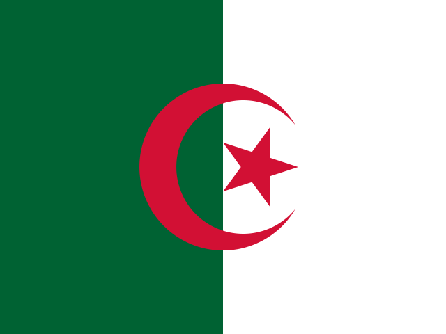
Algeria
Algiers
46.8 million
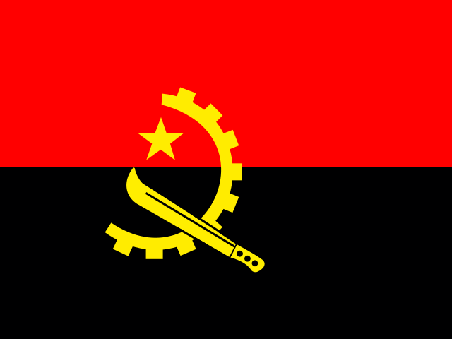
Angola
Luanda
37.9 million
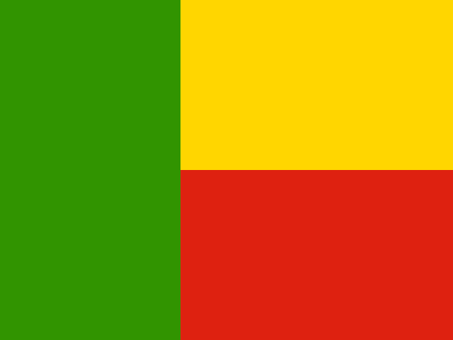
Benin
Porto-Novo
14.5 million
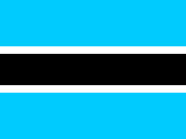
Botswana
Gaborone
2.5 million
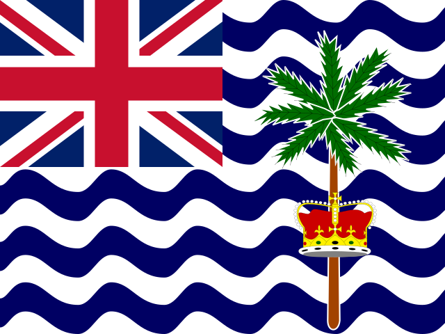
British Indian Ocean Territory
Diego Garcia
3,000
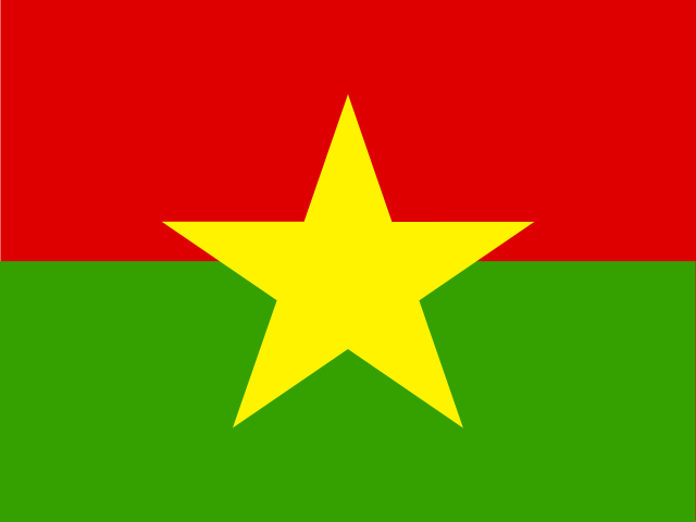
Burkina Faso
Ouagadougou
23.5 million
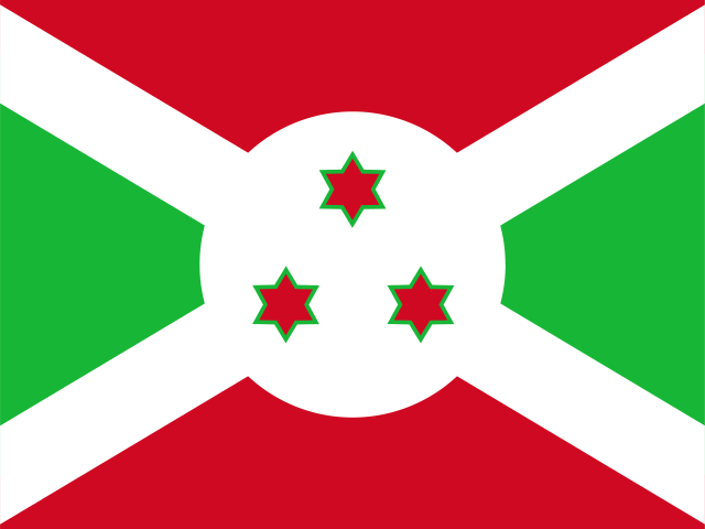
Burundi
Gitega
14.0 million
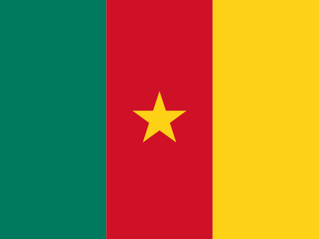
Cameroon
Yaoundé
29.1 million
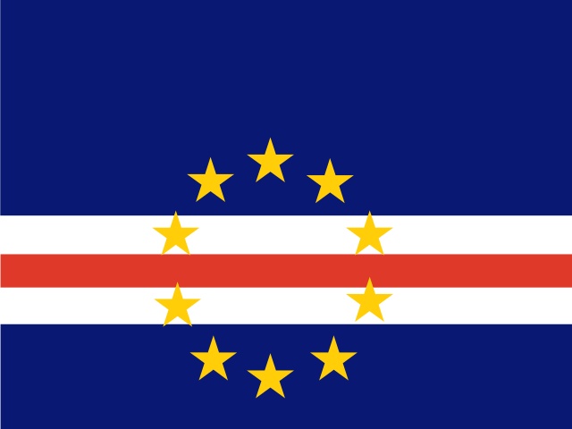
Cape Verde
Praia
524,877
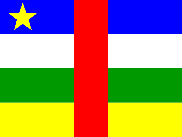
Central African Republic
Bangui
5.3 million
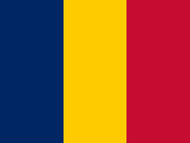
Chad
N'Djamena
20.3 million
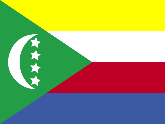
Comoros
Moroni
866,628
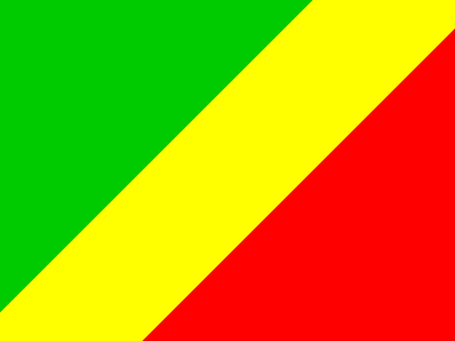
Congo
Brazzaville
6.3 million
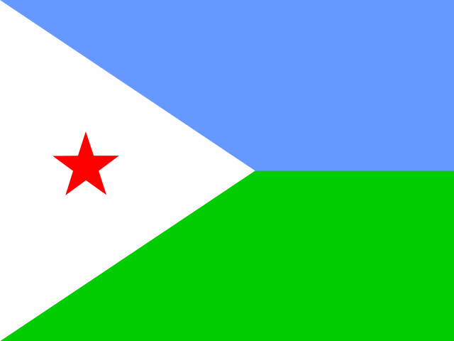
Djibouti
Djibouti
1.2 million
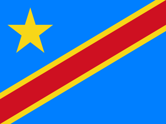
DR Congo
Kinshasa
109.3 million
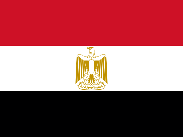
Egypt
Cairo
116.5 million
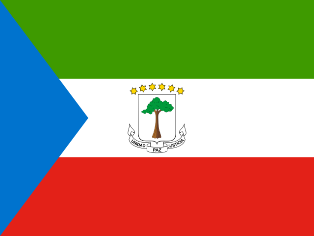
Equatorial Guinea
Malabo
1.9 million
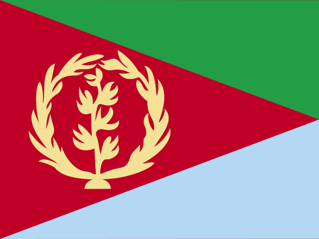
Eritrea
Asmara
3.5 million
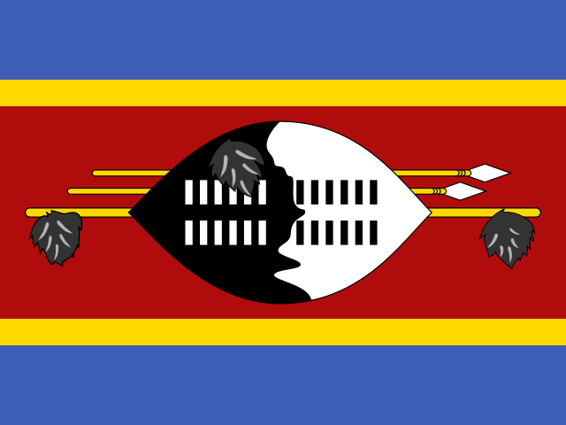
Eswatini
Lobamba
1.2 million
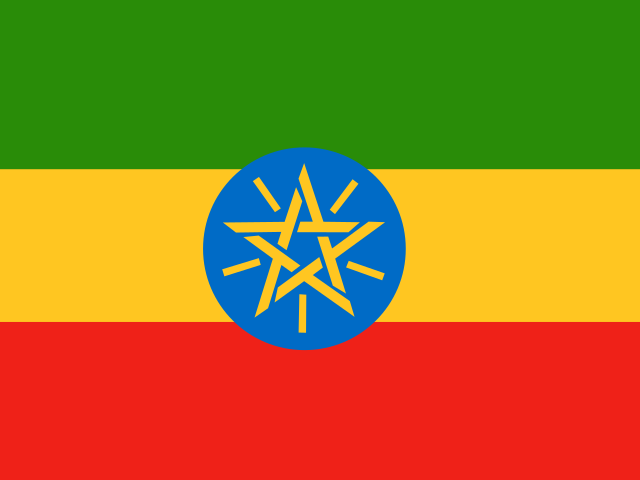
Ethiopia
Addis Ababa
132.1 million
Gabon
Libreville
2.5 million
Gambia
Banjul
2.8 million
Ghana
Accra
34.4 million
Guinea
Conakry
14.8 million
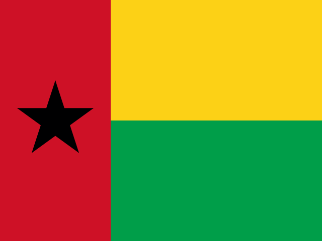
Guinea-Bissau
Bissau
2.2 million
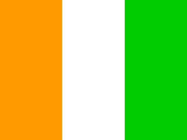
Ivory Coast
Yamoussoukro
31.9 million
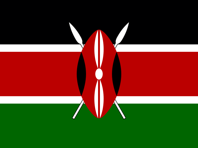
Kenya
Nairobi
56.4 million
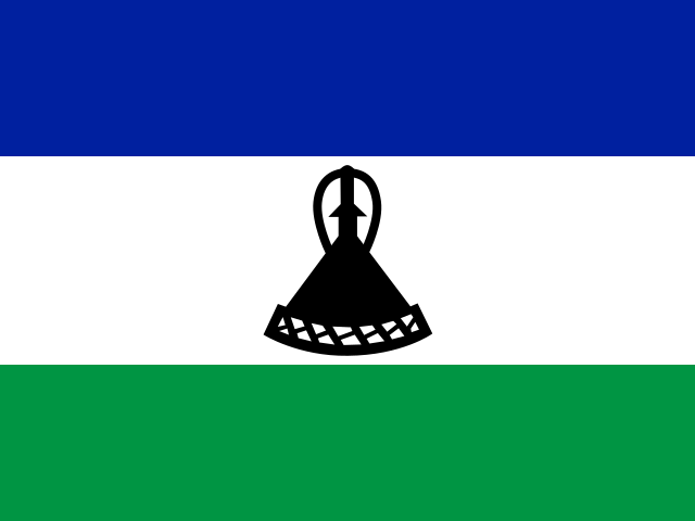
Lesotho
Maseru
2.3 million
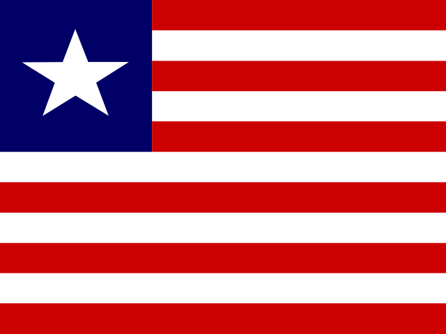
Liberia
Monrovia
5.6 million
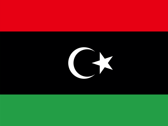
Libya
Tripoli
7.4 million
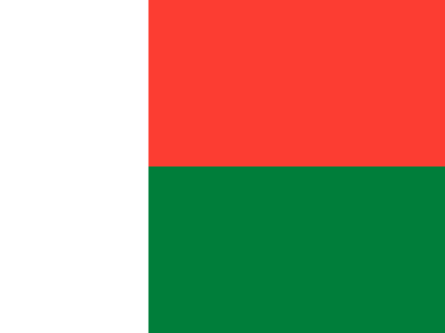
Madagascar
Antananarivo
32.0 million
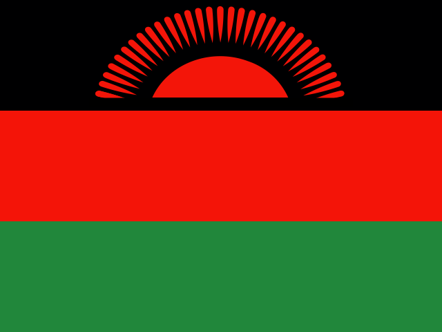
Malawi
Lilongwe
21.7 million
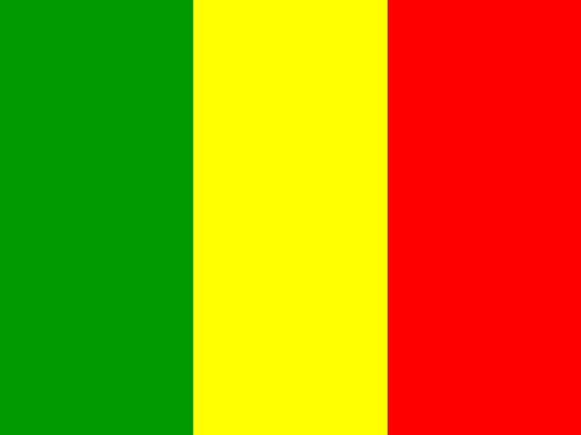
Mali
Bamako
24.5 million
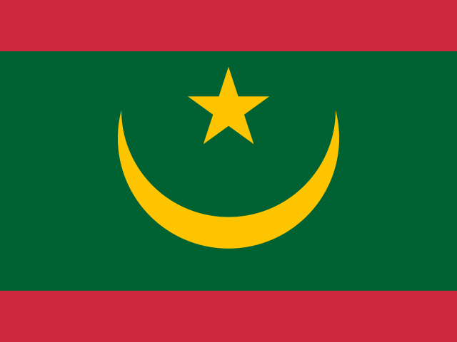
Mauritania
Nouakchott
5.2 million
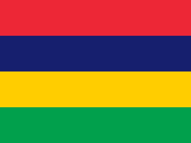
Mauritius
Port Louis
1.2 million
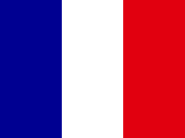
Mayotte
Mamoudzou
320,000
Morocco
Rabat
38.1 million
Mozambique
Maputo
34.6 million
Namibia
Windhoek
3.0 million
Niger
Niamey
27.0 million
Nigeria
Abuja
232.7 million
Réunion
Saint-Denis
873,000
Rwanda
Kigali
14.3 million
Saint Helena, Ascension and Tristan da Cunha
Jamestown
5,300
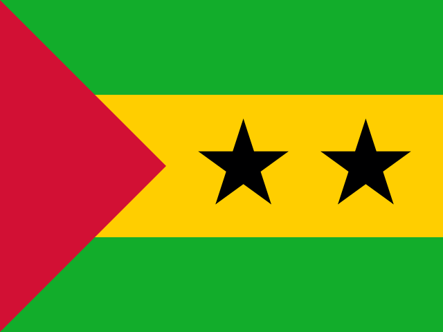
São Tomé and Príncipe
São Tomé
235,536
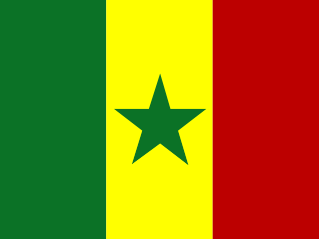
Senegal
Dakar
18.5 million
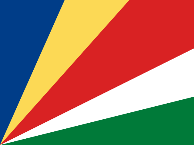
Seychelles
Victoria
121,354
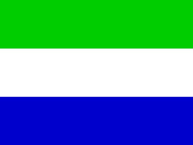
Sierra Leone
Freetown
8.6 million
Somalia
Mogadishu
19.0 million
South Africa
Pretoria
64.0 million
South Sudan
Juba
11.9 million
Sudan
Khartoum
50.4 million
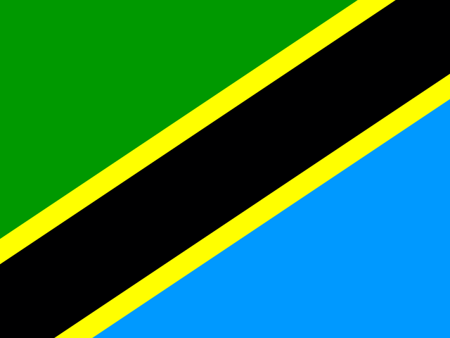
Tanzania
Dodoma
68.6 million
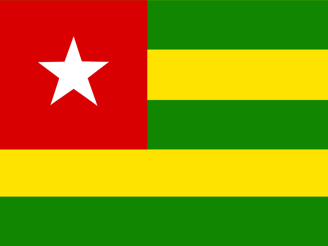
Togo
Lomé
9.5 million
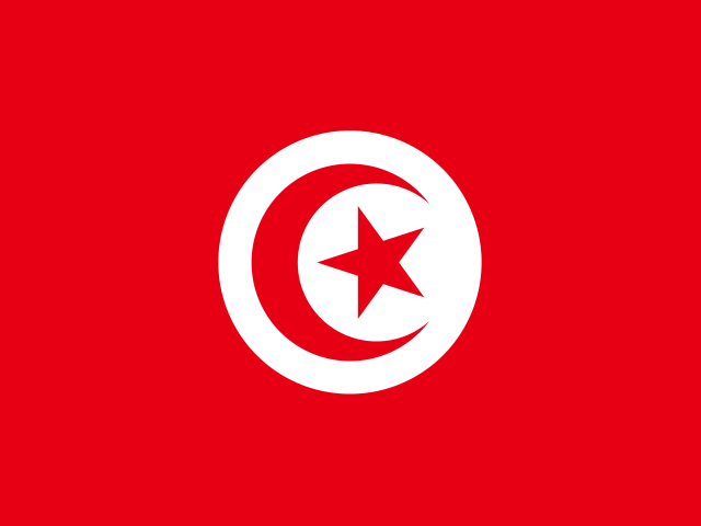
Tunisia
Tunis
12.3 million
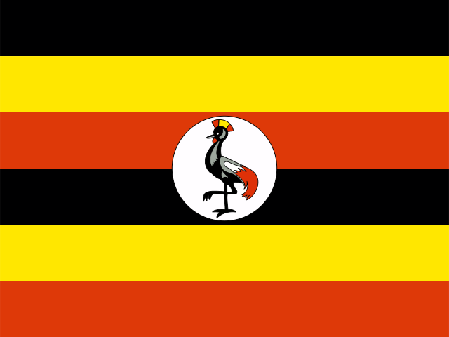
Uganda
Kampala
50.0 million
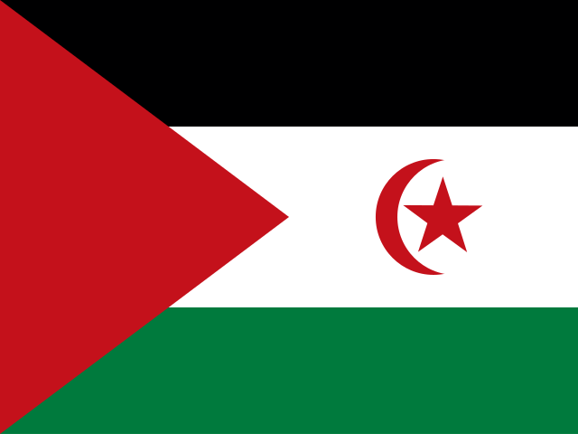
Western Sahara
El Aaiún
600,000
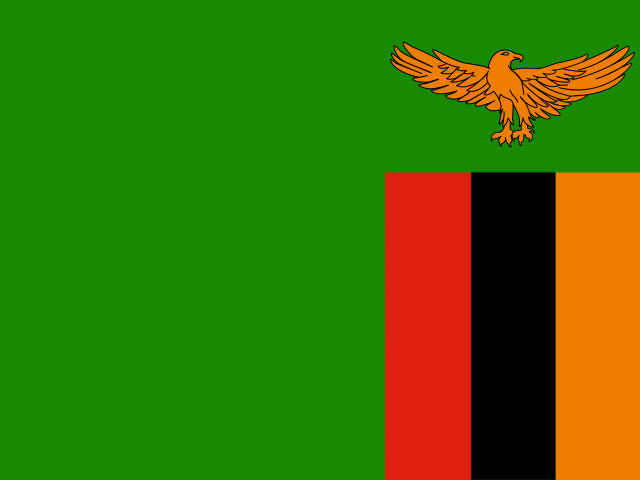
Zambia
Lusaka
21.3 million
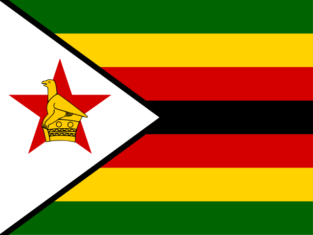
Zimbabwe
Harare
16.6 million
Africa is not one place, and the numbers prove it
Africa carries 59 entries on this site — 54 sovereign states plus 5 territories and disputed areas — which is more than any other region. That alone should retire the habit of talking about "Africa" as a single unit. The continent spans 30,318,417 km², holds 1.52 billion people, and contains both the world's largest hot desert and its second-largest rainforest.
The population figure is the one that keeps moving. Africa is home to 18.6% of everyone alive today, and the median age across the continent sits under twenty. Nigeria alone has 232.7 million residents, more than the whole of Western Europe, and it is not the largest African country by land area — not even close.
What makes Africa genuinely difficult to summarise is the gap between its extremes. The largest entry here, Algeria, covers 2,381,741 km². The smallest, British Indian Ocean Territory, covers 60 km². Between them sit rainforest states, island nations, oil economies, and 16 countries with no coastline at all.
The extremes of the African map
Largest by area
🇩🇿 Algeria
2,381,741 km²
Smallest by area
🇮🇴 British Indian Ocean Territory
60 km²
Most populous
🇳🇬 Nigeria
232.7 million
Fewest people
🇮🇴 British Indian Ocean Territory
3,000
Algeria is the continent's giant at 2,381,741 km², most of it Sahara. It only took that title in 2011, when Sudan split in two and South Sudan became the continent's newest country. Second place, DR Congo, is almost the mirror image: dense equatorial forest rather than sand, and the source of most of the world's cobalt.
At the other end, British Indian Ocean Territory has 3,000 residents, and the 10 African entries with no land border at all — Madagascar, Mauritius, Seychelles, Cape Verde, Comoros, São Tomé and Príncipe and a handful of Indian Ocean and Atlantic territories — have histories that read nothing like the mainland's. Their populations arrived by sea, their languages are creoles, and their economies run on fish and tourism rather than mining or oil.
How Africa divides up
Eastern Africa
20488.7 million people across 20 entries.
Western Africa
17456.3 million people across 17 entries.
Middle Africa
10224.9 million people across 10 entries.
Northern Africa
7272.1 million people across 7 entries.
Southern Africa
573.1 million people across 5 entries.
The five African subregions are not evenly sized. Eastern Africa is the largest group with 20 entries, running from Ethiopia and the Horn down through Kenya and Tanzania to Mozambique and out to the Indian Ocean islands. Western Africa follows with 17, a tight cluster of coastal and Sahel states from Senegal round to Nigeria.
Northern Africa has only 7 entries but they are large ones, and they face the Mediterranean as much as they face the rest of the continent. Southern Africa is the smallest group with 5, and it contains the continent's only country with three capital cities: South Africa keeps its executive in Pretoria, its judiciary in Bloemfontein and its parliament in Cape Town.
Languages and money across Africa
Most widespread official languages
- Englishofficial in 25 places
- Frenchofficial in 24 places
- Arabicofficial in 12 places
- Portugueseofficial in 6 places
- Swahiliofficial in 4 places
- Tswanaofficial in 4 places
48 distinct official languages recorded across Africa.
Most widely used currencies
- West African CFA franc (XOF)8 places
- Central African CFA franc (XAF)6 places
- South African rand (ZAR)5 places
- Euro (EUR)3 places
- Algerian dinar (DZD)2 places
- Botswana pula (BWP)2 places
49 distinct currencies in circulation across Africa.
This dataset records 48 official languages across the continent, but that number understates reality by an order of magnitude — Africa has somewhere north of two thousand living languages, most of which are not official anywhere. What the official list shows is the colonial map: English appears in 25 entries, French in 24, Arabic in 12 and Portuguese in 6.
Currencies tell a similar story. Africa uses 49 distinct currencies, but the largest single bloc is the CFA franc, split into a West African version used by 8 countries and a Central African version used by 6. Both are pegged to the euro, which means monetary policy for a large slice of the continent is decided partly in Europe — one of the more consequential leftovers of the colonial period.
Compare Africa with the rest of the world
Every region has its own page built the same way, so the figures line up and you can put them side by side. The count beside each name is how many countries and territories it holds.
If you would rather not pick a region at all, the global country wheel carries all 249 entries on the site, and the full A–Z index lets you search rather than spin. The continents overview compares all six regions on one screen.
Once you know the map, test it. The capital city quiz can be filtered by region, guess the flag strips out the country names entirely, and the landlocked countries page covers the 16entries here with no coastline alongside the rest of the world's. There are longer write-ups on the blog if you want the background behind the numbers.
Africa: frequently asked questions
How many countries are there in Africa?
There are 54 sovereign countries in Africa recognised as United Nations member states. This page lists 59 entries in total, because it also includes territories such as Western Sahara, Réunion, Mayotte and Saint Helena, which have their own flags and population figures. If someone asks you the number, 54 is the answer they want.
What is the largest country in Africa?
Algeria, at 2,381,741 km². It has held the title since 2011, when Sudan split and lost the south. Roughly four-fifths of Algeria is Sahara, so its population of 46.8 million is concentrated in a narrow northern strip along the Mediterranean.
Which African country has the most people?
Nigeria, with 232.7 million residents. That is more than the combined populations of Germany, France and the United Kingdom. It sits in Western Africa and its largest city, Lagos, is one of the fastest-growing urban areas on Earth.
How many African countries are landlocked?
16 of them: Botswana, Burkina Faso, Burundi, the Central African Republic, Chad, Eswatini, Ethiopia, Lesotho, Malawi, Mali, Niger, Rwanda, South Sudan, Uganda, Zambia and Zimbabwe. That is the highest count of any continent. Ethiopia is the most populous landlocked country in the world, and Lesotho is one of only three states on Earth entirely surrounded by a single other country.
What is the smallest country in Africa?
By land area the smallest sovereign state is Seychelles at 452 km², an archipelago in the Indian Ocean. The smallest entry on this page overall is British Indian Ocean Territory at 60 km², which is a territory rather than a country. By population, Seychelles is again the smallest sovereign African state with roughly 121,000 residents.
How many African countries are islands?
10 entries on this page share no land border with anyone, and six of those are sovereign island states: Madagascar, Mauritius, Seychelles, Cape Verde, Comoros, and São Tomé and Príncipe. They are geographically African but culturally distinct, with creole languages, South Asian and Southeast Asian ancestry in the population, and economies built on fishing, tourism and shipping rather than agriculture or minerals.
How is the random country wheel on this page different from the main one?
This wheel is loaded only with countries from this region, so every spin lands inside it. The wheel on the main spin page carries all 250 countries and territories on the site. Use the regional wheel when you are studying one part of the world and the global one when you want a genuine surprise.
Where do these population and area figures come from?
They come from the same dataset that powers every country guide on this site, built on public country data and the most recent published estimates for population and land area. Population figures in particular are estimates and move constantly, so treat them as accurate to within a percent or two rather than to the last person.
Why does this page count territories as well as countries?
Because they are real places with flags, capitals and residents, and leaving them out would hide some of the most interesting entries on the map. Every guide states plainly whether a place is a sovereign state or a territory, and the sovereign count is given separately in the statistics above so you can use whichever number you need.
Can I use these figures in a school project?
Yes, and it is worth citing the date you looked them up, because population estimates change. If your project needs one authoritative source, cross-check the headline numbers against the UN World Population Prospects or the country's own statistics office. The rankings here — largest, smallest, most populous — are stable and safe to quote.