Countries in Oceania
27 countries and territories scattered across a third of the planet's surface, with only 46.7 million people between them. Spin the wheel for a random Oceanian country, or browse the full list below.
12 countries are on the wheel right now.
Press Spin and the pointer decides where you are going.
Twelve of 27 countries are loaded at a time so every wedge stays readable. Shuffle for a fresh twelve, or spin the wheel you have.
Oceania at a glance
27
Countries & territories
14
Sovereign states
46.7 million
Total population
0.6%
Share of world population
8,515,313 km²
Combined land area
0
Landlocked
26
No land border
23
Official languages
All countries in Oceania (A–Z)
Every entry below opens a full guide with the capital, population, land area, languages, currency, neighbouring countries and a map. 14 of these 27 are sovereign states; the rest are territories, dependencies and overseas regions.
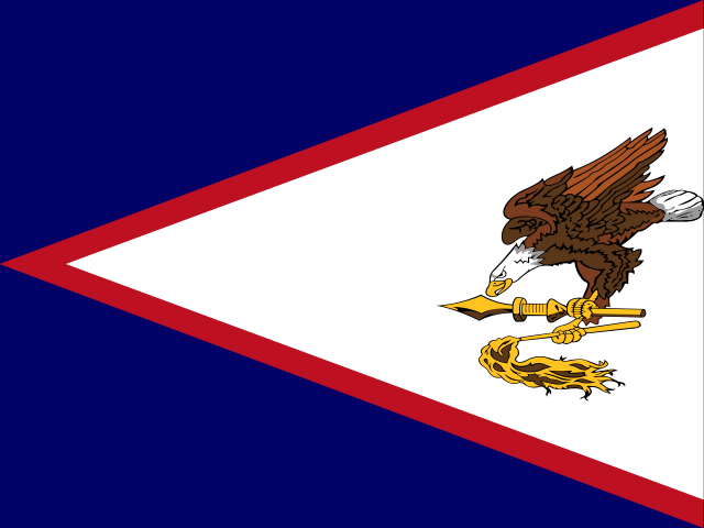
American Samoa
Pago Pago
46,765
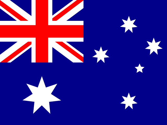
Australia
Canberra
27.2 million
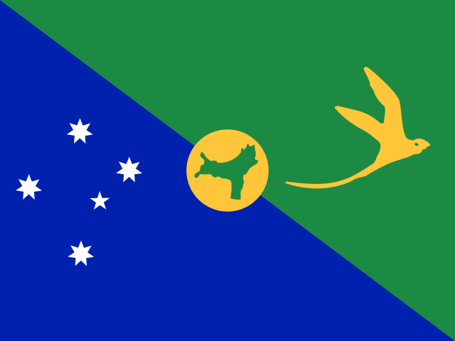
Christmas Island
Flying Fish Cove
1,700
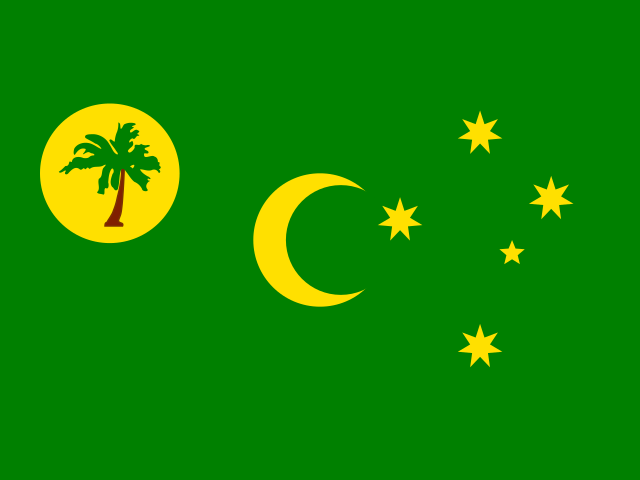
Cocos (Keeling) Islands
West Island
600
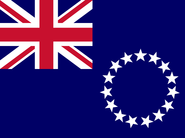
Cook Islands
Avarua
17,000
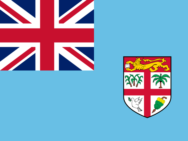
Fiji
Suva
928,784
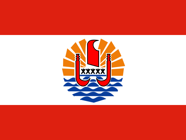
French Polynesia
Papeetē
281,807
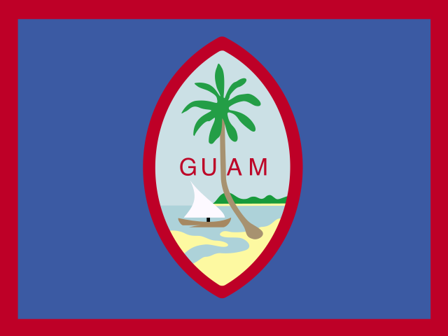
Guam
Hagåtña
167,777
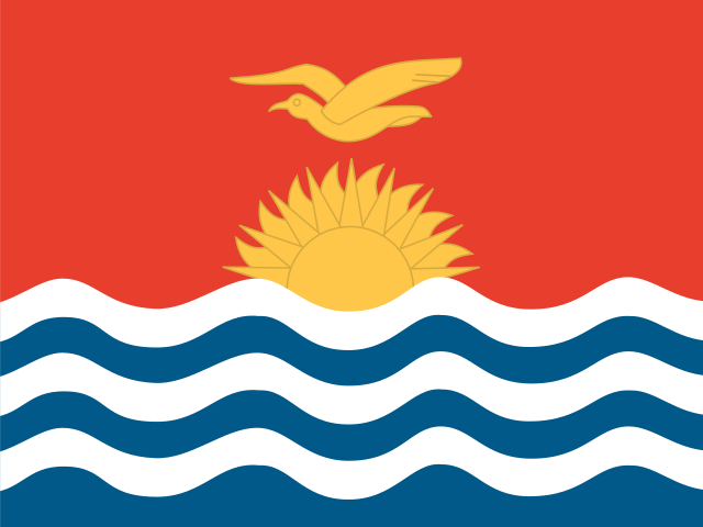
Kiribati
South Tarawa
134,518
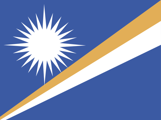
Marshall Islands
Majuro
37,548
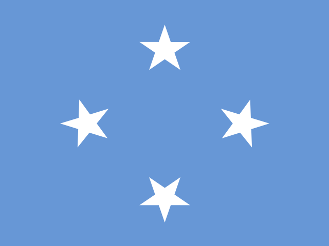
Micronesia
Palikir
113,160
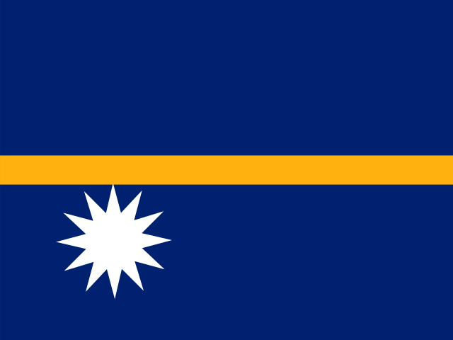
Nauru
Yaren
11,947
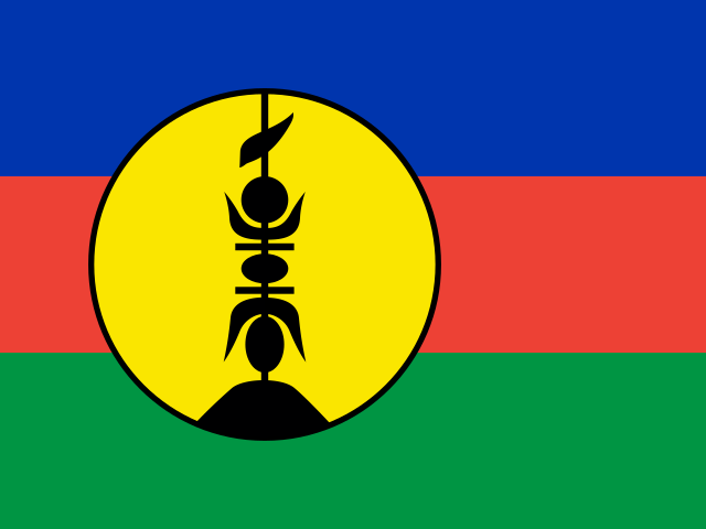
New Caledonia
Nouméa
292,639
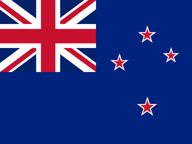
New Zealand
Wellington
5.3 million
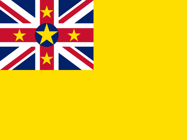
Niue
Alofi
1,700
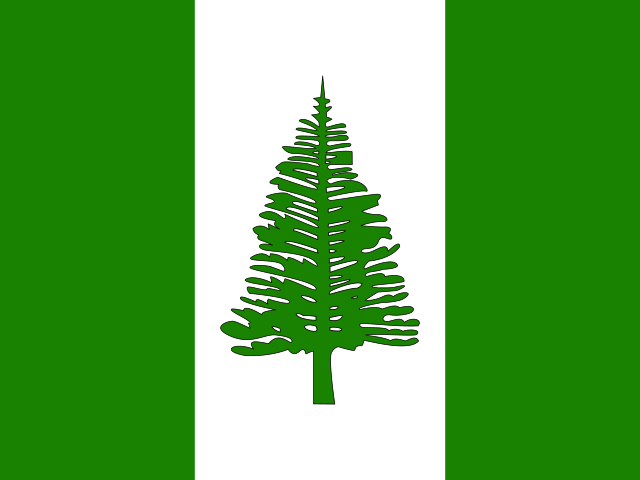
Norfolk Island
Kingston
2,200
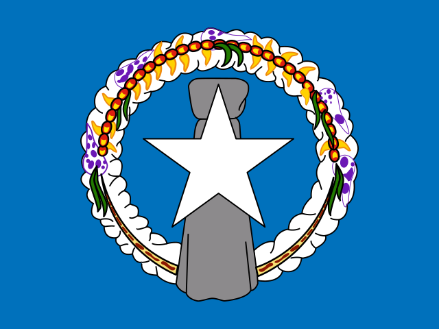
Northern Mariana Islands
Saipan
44,278
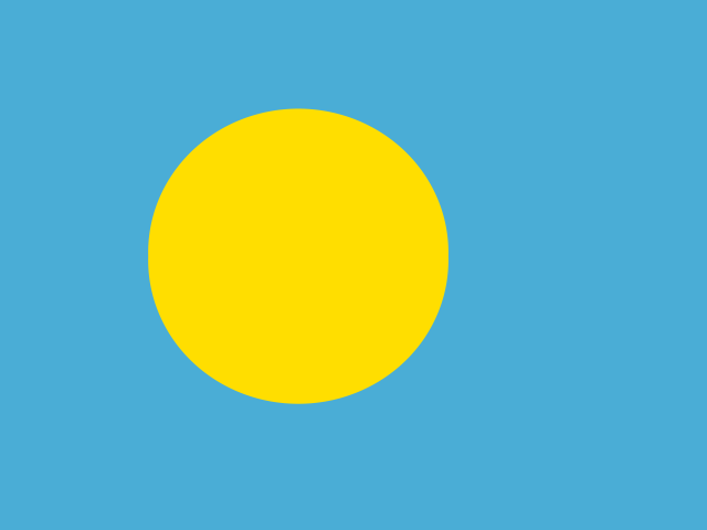
Palau
Ngerulmud
17,695
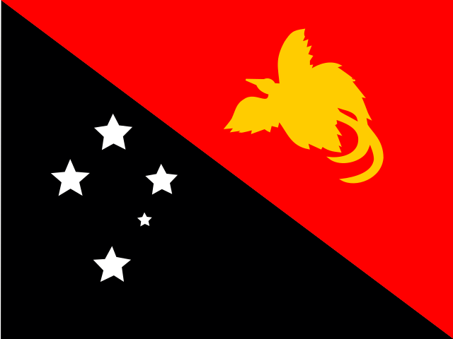
Papua New Guinea
Port Moresby
10.6 million
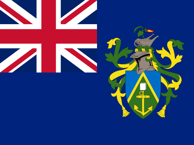
Pitcairn Islands
Adamstown
47
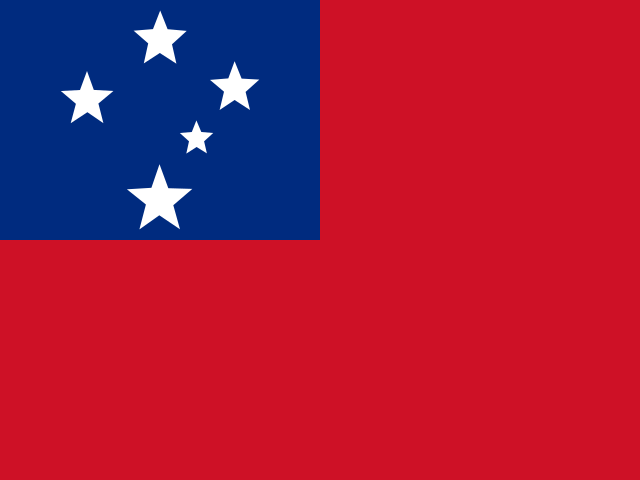
Samoa
Apia
218,019
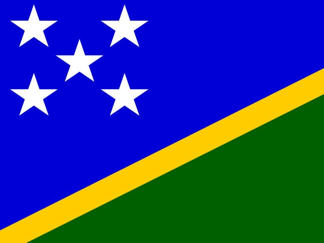
Solomon Islands
Honiara
819,198
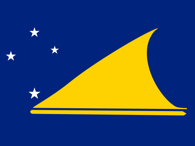
Tokelau
Fakaofo
1,900
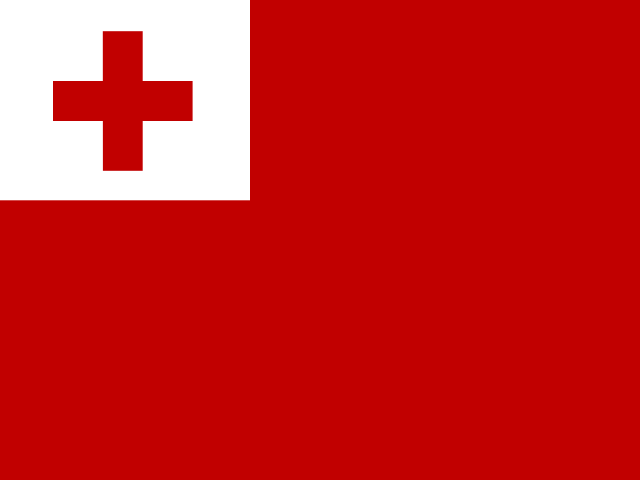
Tonga
Nuku'alofa
104,175
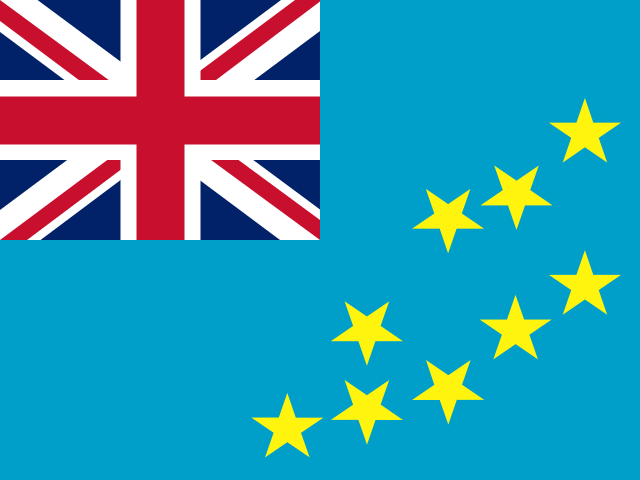
Tuvalu
Funafuti
9,646
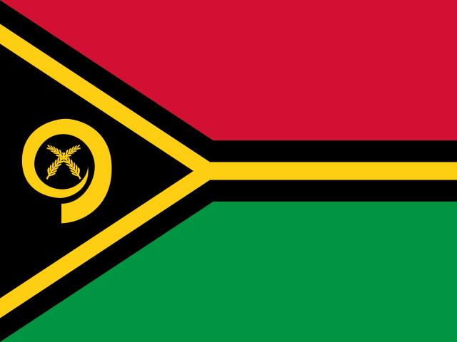
Vanuatu
Port Vila
327,777
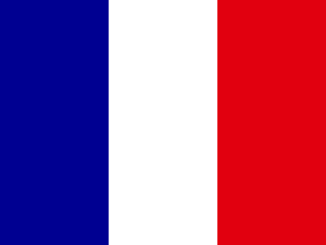
Wallis and Futuna
Mata-Utu
11,600
More ocean than land, by a very long way
Oceania is the smallest region on this site by both count and population: 27 entries and 46.7 million people, which is 0.6% of the world's population. It is also, by area of the Earth's surface it touches, the largest. The Pacific covers about a third of the globe, and these 27 jurisdictions are spread right across it.
One country distorts every statistic here. Australia accounts for 7,692,024 km² of the region's 8,515,313 km² — around ninety per cent of the land — and 27.2 million of its 46.7 million people. Take Australia out and Oceania becomes a region of small islands with a combined population smaller than Sri Lanka's.
The other defining number is 26. That is how many of the 27 entries share no land border with anybody at all. Only Papua New Guinea has a land frontier, running down the middle of New Guinea with Indonesia. Nowhere in Oceania is landlocked, and nowhere is more than a short distance from a coast, which makes sea level the single most politically charged measurement in the region.
The extremes of Oceania
Largest by area
🇦🇺 Australia
7,692,024 km²
Smallest by area
🇹🇰 Tokelau
12 km²
Most populous
🇦🇺 Australia
27.2 million
Fewest people
🇵🇳 Pitcairn Islands
47
Australia is the giant at 7,692,024 km², followed by Papua New Guinea at 462,840 km² and New Zealand at 270,467 km². After those three, nothing else reaches 30,000 km². The Solomon Islands come fourth at under 29,000 km², and the tail of the list is made up of atolls measured in single or double digits.
Tokelau is the smallest entry at 12 km². Pitcairn Islands has the smallest population anywhere in this dataset — 47 people, descendants of the Bounty mutineers and their Tahitian companions, on a single volcanic island with no airstrip. Among sovereign states, Nauru is the smallest by area at 21 km² and Tuvalu the smallest by population at roughly 9,600, which makes them the two smallest countries on Earth outside Europe.
How Oceania divides up
Polynesia
10692,659 people across 10 entries.
Micronesia
7526,923 people across 7 entries.
Australia and New Zealand
532.5 million people across 5 entries.
Melanesia
512.9 million people across 5 entries.
Four subregions, and they are cultural groupings as much as geographical ones. Polynesia is the largest by count with 10 entries, spread across the eastern Pacific from New Zealand to Hawaii to Easter Island. Micronesia has 7 in the north-west, Melanesia 5 in the south-west, and the Australia and New Zealand grouping 5.
Melanesia is where almost all the region's non-Australian population lives, and it is astonishingly diverse: Papua New Guinea alone has more living languages than any other country in the world, somewhere above eight hundred. Only 14 of the 27 entries here are sovereign states, with 13 remaining as territories of Australia, New Zealand, France, the United Kingdom or the United States — the highest proportion of dependent territories of any region on this site.
Languages and money across Oceania
Most widespread official languages
- Englishofficial in 24 places
- Frenchofficial in 4 places
- Samoanofficial in 3 places
- Chamorroofficial in 2 places
- Bislamaofficial in 1 place
- Carolinianofficial in 1 place
23 distinct official languages recorded across Oceania.
Most widely used currencies
- Australian dollar (AUD)7 places
- New Zealand dollar (NZD)5 places
- United States dollar (USD)5 places
- CFP franc (XPF)3 places
- Cook Islands dollar (CKD)1 place
- Fijian dollar (FJD)1 place
13 distinct currencies in circulation across Oceania.
English is official in 24 of the 27 entries, the most lopsided linguistic pattern of any region here. French follows in 4 — New Caledonia, French Polynesia, Wallis and Futuna, and Vanuatu, which uses both. Only 23 languages hold official status in total, but that figure hides the truth completely: the Pacific is home to roughly a fifth of the world's living languages, most of them spoken by communities of a few thousand people.
Money is equally concentrated. Just 13 distinct currencies serve the whole region. The Australian dollar is used in 7 entries, the New Zealand dollar in 5, the US dollar in 5 and the CFP franc in 3. For very small island economies, adopting a large neighbour's currency removes exchange-rate risk on imported food and fuel, which matters more than monetary independence.
Compare Oceania with the rest of the world
Every region has its own page built the same way, so the figures line up and you can put them side by side. The count beside each name is how many countries and territories it holds.
If you would rather not pick a region at all, the global country wheel carries all 249 entries on the site, and the full A–Z index lets you search rather than spin. The continents overview compares all six regions on one screen.
Once you know the map, test it. The capital city quiz can be filtered by region, guess the flag strips out the country names entirely, and the landlocked countries page covers the 0entries here with no coastline alongside the rest of the world's. There are longer write-ups on the blog if you want the background behind the numbers.
Oceania: frequently asked questions
How many countries are there in Oceania?
There are 14 sovereign countries in Oceania: Australia, New Zealand, Papua New Guinea, Fiji, Solomon Islands, Vanuatu, Samoa, Tonga, Kiribati, Tuvalu, Nauru, Palau, the Marshall Islands and Micronesia. This page lists 27 entries in total because it also includes 13 territories such as Guam, New Caledonia, French Polynesia, the Cook Islands and Norfolk Island.
What is the smallest country in Oceania?
Nauru is the smallest by land area at 21 km², and Tuvalu is the smallest by population at roughly 9,600 people. Both are among the smallest countries in the world. The smallest entry of any kind on this page is Tokelau at 12 km², a New Zealand territory of three atolls with no airport.
Which place in Oceania has the fewest people?
Pitcairn Islands, with 47 residents — the smallest permanently inhabited jurisdiction in this entire dataset. Its population descends from the mutineers of HMS Bounty, who arrived in 1790. There is no airstrip, and the only regular access is a shipping service from French Polynesia that takes several days.
Are any countries in Oceania landlocked?
None. Every one of the 27 entries here has a coastline, and 26 of them have no land border at all. Papua New Guinea is the sole exception, sharing a long north-south border with Indonesia through the island of New Guinea. It is the only region on this site with zero landlocked entries.
Why is Australia counted as part of Oceania?
Because Oceania is the standard geographic region that contains the Australian continent along with the Pacific island groups of Melanesia, Micronesia and Polynesia. Australia is both a country and a continent, which is why it is often listed separately, but for regional statistics it sits inside Oceania. It accounts for about ninety per cent of the region's land area and 58% of its population.
Which Pacific countries are most at risk from rising seas?
Tuvalu, Kiribati and the Marshall Islands are the most exposed, because they are made almost entirely of coral atolls with average elevations of two to three metres. Tuvalu's highest natural point is under five metres above sea level. All three have become prominent voices at climate negotiations for the straightforward reason that the outcome determines whether their territory remains habitable.
How is the random country wheel on this page different from the main one?
This wheel is loaded only with countries from this region, so every spin lands inside it. The wheel on the main spin page carries all 250 countries and territories on the site. Use the regional wheel when you are studying one part of the world and the global one when you want a genuine surprise.
Where do these population and area figures come from?
They come from the same dataset that powers every country guide on this site, built on public country data and the most recent published estimates for population and land area. Population figures in particular are estimates and move constantly, so treat them as accurate to within a percent or two rather than to the last person.
Why does this page count territories as well as countries?
Because they are real places with flags, capitals and residents, and leaving them out would hide some of the most interesting entries on the map. Every guide states plainly whether a place is a sovereign state or a territory, and the sovereign count is given separately in the statistics above so you can use whichever number you need.
Can I use these figures in a school project?
Yes, and it is worth citing the date you looked them up, because population estimates change. If your project needs one authoritative source, cross-check the headline numbers against the UN World Population Prospects or the country's own statistics office. The rankings here — largest, smallest, most populous — are stable and safe to quote.