Christmas Island overview
Christmas Island is a territory in Australia and New Zealand, and it is not a sovereign state in its own right. Treaties and official documents call it Territory of Christmas Island. Its seat of government is Flying Fish Cove.
The land area is 135 km², which ranks it 227th of the 249 countries and territories in this dataset — just behind Wallis and Futuna and just ahead of Jersey. For scale, it is around a fifth smaller than Liechtenstein.
Its recorded population is just 1,700, among the smallest anywhere. Measured only against its own subregion, it is 3rd of 5 in size and 4th in population.
The status of Christmas Island
Christmas Island does not hold a United Nations seat of its own. It is administered as a dependency or overseas territory rather than as a sovereign state, which is why it sits outside the 192 member states while still appearing among the 249 entries on this site.
Not holding a UN seat is not the same as having no self-government, and the administrative details make that clear. Christmas Island has 5 of the five markers of separate administration tracked on this page — its own currency, its own dialling code, its own internet domain, its own iso codes and a designated capital. In day-to-day terms it is run substantially as its own jurisdiction.
- Its own currencyAUD
- Its own dialling code+61
- Its own internet domain.cx
- Its own ISO codescx / CXR
- A designated capitalFlying Fish Cove
Christmas Island at a glance
- Capital
- Flying Fish Cove
- Population
- 1,700
- Area
- 135 km²
- Region
- Australia and New Zealand, Oceania
- Languages
- English
- Currency
- Australian dollar (AUD)
- Calling code
- +61
- Internet TLD
- .cx
- People per km²
- 13
The lie of the land
The coordinates the dataset gives are 10.5° S, 105.7° E, which puts it in the southern hemisphere, roughly 1,169 km from the equator, in what geographers would call tropical latitudes.
Brazil, Peru and Angola sit at almost exactly the same latitude on other parts of the globe.
There is no land frontier at all — every boundary it has is a coastline. That puts it among the 85 entries of 249 here with no land neighbours, which shapes how it trades and who it deals with.
Where Christmas Island is on the map
The map below is centred on Christmas Island at roughly -10.50°, 105.67°. Pan and zoom to see how it sits against its surroundings — the shape of a country's borders explains a surprising amount about its history.
Map data © OpenStreetMap contributors
What lies nearest to Christmas Island
Christmas Island has no land border with any country, which changes what "nearby" means. Measured centre to centre in a straight line, the closest other entry on this site is Cocos (Keeling) Islands, roughly 990 km away. These are approximate distances between representative points, not the shortest crossing between two shorelines, so treat them as a sense of scale rather than a sailing chart.
Being surrounded by water rather than by neighbours pushes a country's relationships outward. Singapore, Malaysia, Indonesia and Brunei sit in a different world region from Christmas Island yet rank among its closest geographic company — the kind of pairing that only shows up once you stop thinking in continents.
No land border also means no land crossing: everything and everyone arrives by sea or by air. That single fact drives a lot of what follows on this page, from how goods reach the shops to why Christmas Island's dialling code and internet domain are worth knowing before you travel.
| Nearest entry | Region | Approx. distance |
|---|---|---|
| Cocos (Keeling) Islands | Oceania | 990 km |
| Singapore | different region | 1,340 km |
| Malaysia | different region | 1,630 km |
| Indonesia | different region | 1,690 km |
| Brunei | different region | 1,940 km |
How crowded Christmas Island is, and what is spoken there
Population divided by land area gives roughly 13 people per square kilometre, which makes it less crowded than the typical entry on this list. Half the entries in this dataset fall below roughly 91 per square kilometre.
The one official language is English. Another 90 entries list English too — among them American Samoa, Anguilla, Antigua and Barbuda and Australia.
People from Christmas Island are called Christmas Islanders.
Against Oceania as a whole it is the 24th most populous of 27 entries, and it accounts for under 1% of everyone living in Australia and New Zealand.
Money and language in Christmas Island
Christmas Island does not have the Australian dollar to itself. It is one of 7 entries on this site that use the currency, whose code is AUD, and the others include listed below. A shared currency usually points at something real — a monetary union, a currency board, a former colonial administration, or a small economy pegging itself to a large neighbour's money — and it means a price quoted in AUD travels further than you might expect.
Language reaches wider still. English is listed for 91 entries here, Christmas Island among them, so a visitor who speaks it can be understood across a large part of the map. Shared language tends to outlive the empires, trade routes and migrations that spread it, which is why the linguistic map and the political one rarely line up.
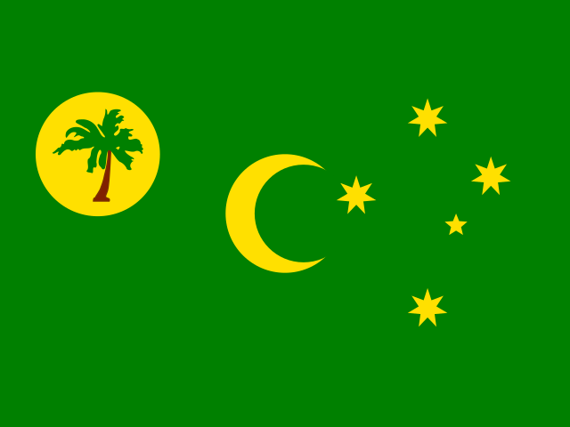
Also uses the Australian dollar (AUD):
Also lists English among its languages:
Christmas Island within Australia and New Zealand
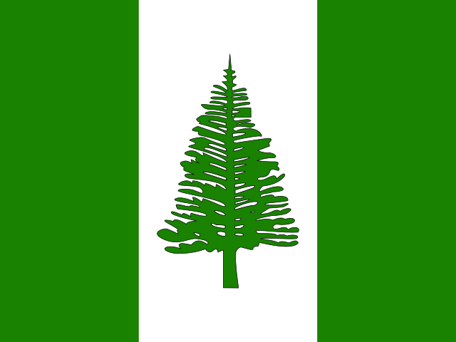
Zoom in from the world to Australia and New Zealand and Christmas Island sits 4th of 5 by population and 3rd by area. Its immediate company in that ordering is Norfolk Island just above and Cocos (Keeling) Islands just below, which is a more honest comparison set than a global league table.
Australia is the largest of the group by population, and every entry in Australia and New Zealand has its own page here if you want to work through the whole neighbourhood rather than one country at a time.
The practical details for Christmas Island
It uses the Australian dollar ($, AUD). Another 6 entries use the same currency — Australia, the Cocos (Keeling) Islands, Kiribati, Nauru and Norfolk Island among them — so exchange rates move for reasons that have nothing to do with Christmas Island.
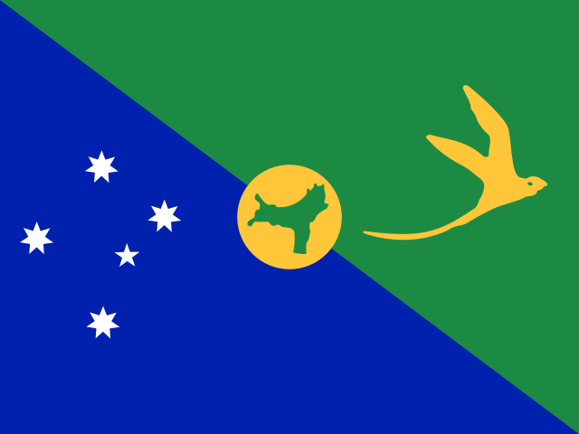
The top-level domain is .cx. To phone it from abroad you dial +61. Its ISO codes are cx and CXR, which is what most databases and flag files use.
If a quiz asks for the capital of Christmas Island, the answer is Flying Fish Cove.
Christmas Island is not a UN member state. It uses Australia's currency and issues none of its own, which is the usual mark of a dependency. Of the 249 entries here, 57 are territories or observers rather than member states.
Christmas Island codes and abbreviations
Every country carries a small set of codes that quietly run the practical world — phone networks, web addresses, passports, luggage tags and dropdown menus. Here are Christmas Island's, and what each one is actually for.
- Calling code+61
- Dial +61 after your international access code to reach a number in Christmas Island.
- Internet domain.cx
- .cx is the country-code top-level domain, so a web address ending in it is registered to Christmas Island.
- ISO two-letter codecx
- Used on vehicle plates, in currency pairs and in almost every dropdown list of countries.
- ISO three-letter codeCXR
- The form you will see on passports, at airports and in sports scoreboards.
- DemonymChristmas Islander
- The correct word for a person from Christmas Island, and for the adjective form.
Fun facts about Christmas Island
- English is official here and in 90 other entries worldwide.
- Population density works out at roughly 13 people per square kilometre.
- Within Australia and New Zealand it is the 3rd largest of 5.
- Its currency, the Australian dollar, is shared with 6 other entries.
- It has no land border with any other country — one of 85 such entries in this dataset.
- In land area it is around a fifth smaller than Liechtenstein.
Christmas Island — frequently asked questions
- What is the capital of Christmas Island?
- The capital of Christmas Island is Flying Fish Cove.
- Is Christmas Island a country?
- Not in the political sense. Christmas Island is a dependent territory rather than a sovereign state, and it is not a UN member. The dataset points to Australia as the administering state. It appears on this site because it has its own flag, codes and statistics, but it does not have a seat at the United Nations.
- Where is Christmas Island located?
- Christmas Island is in Australia and New Zealand, part of Oceania. Its reference coordinates are 10.5° south and 105.7° east, roughly 1,169 km from the equator in tropical latitudes.
- How big is Christmas Island?
- Christmas Island covers 135 km², ranking 227th of 249 by land area. That makes it around a fifth smaller than Liechtenstein.
- What is the population of Christmas Island?
- Christmas Island has a population of about 1,700, which makes it the 239th most populous of the 249 countries and territories listed on this site. Tokelau sits just above it and Niue just below.
- Does Christmas Island border any other country?
- No. Christmas Island has no land border with any other country, so every route in or out is by sea or air. 85 of the 249 entries on this site are in the same position.
- What currency does Christmas Island use?
- Christmas Island uses the Australian dollar, written $ (currency code AUD). It is shared with 6 other entries.
- What language is spoken in Christmas Island?
- The official language of Christmas Island is English. It is also official in 90 other entries on this list.